1. Blood Mountain, GA.
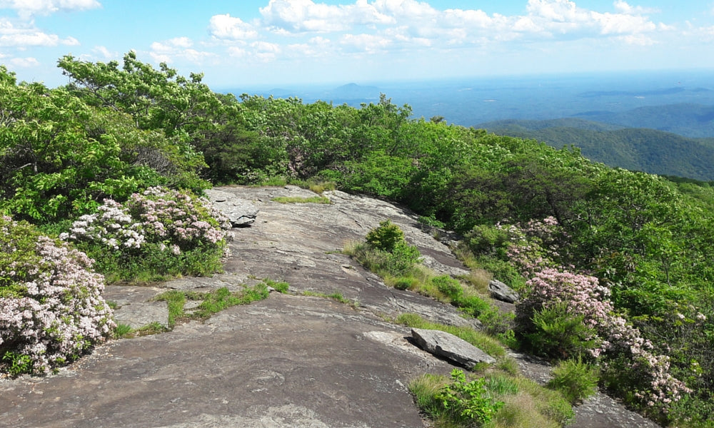
Why it's awesome: The highest peak in Georgia on the Appalachian Trail at 4,458 ft. This hike includes several stunning panoramic views, particularly on the descent into Neels Gap. There is a famous stone shelter, built in 1934 by the CCC (Civilian Conservation Corps) on Blood Mountain's summit. The hostel and gear shop, Mountain Crossings, is noteworthy as well - the only covered structure the Appalachian Trail goes through. See Atlanta Trails for more GA hikes.
Distance: 10.9 miles (mile 20.8 to 31.7)
Where to go: Woody Gap GA 60 to Neels Gap, US 19
2. Smoky Mountains, TN/NC.
 CC BY-SA 2.5 | Luca Galuzzi
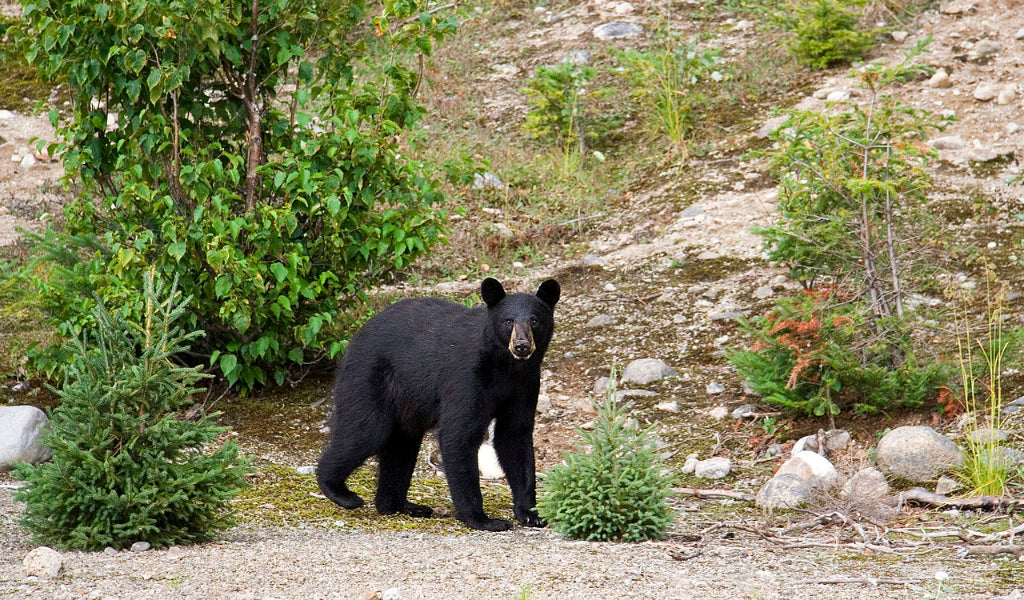
Why it's awesome: The Great Smoky Mountains contain the largest old growth forest and the densest population of black bears in the East. The spruce-fir forest is simply majestic. Not to mention you will pass through the highest point on the Appalachian Trail, Clingman's Dome at 6,643 ft. Note the 'smoke' is actually a foggy vapor caused by vegetation exhaling organic compounds.
Distance: 71.3 miles (mile 164.7 to 236.0)
Where to go: Fontana Dam, NC 28 to Big Creek Ranger Station
3. Max Patch, NC.
 CC BY 2.0 | Marit & Toomas Hinnosaar
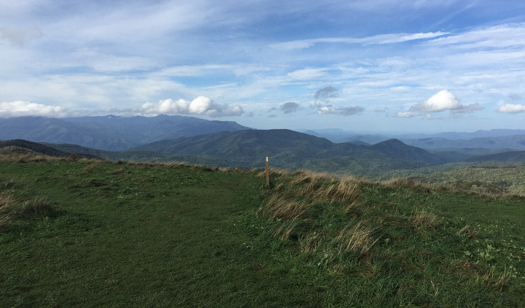
Why it's awesome: A massive 300 acre grassy bald with 360 degree views of the surrounding mountains. Near Hot Springs, NC in Pisgah National Forest, Max Patch was cleared for farming in the mid-1800's. It has turned into a favorite spot for thru-hikers to soak in the sun without swarms of tourists. See Asheville Trails for more on Max Patch.
Distance: 13.9 miles (mile 253.2 to 267.1)
Where to go: SR 1182, Max Patch Rd to Garenflo Gap
4. Grayson Highlands, VA.
 CC BY 2.0 | Virginia State Parks
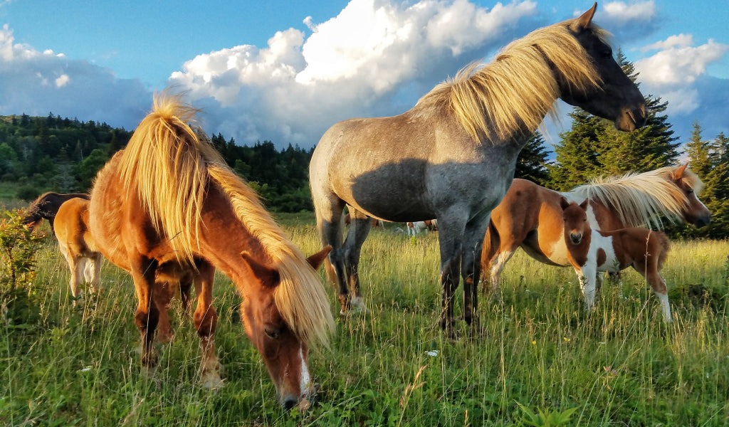
Why it's awesome: A group of ponies was introduced to Grayson Highlands State Park several hundred years ago. Since then, they have grown to a herd over 100 strong and freely graze the grasslands. In addition to ponies, the Grayson Highlands section offers long, flat trails with big views at 5,000 ft above sea level.
Distance: 17.7 miles (mile 493.0 to 510.7)
Where to go: VA 600, Elk Garden to Fox Creek, VA 603
5. McAfee's Knob, VA.
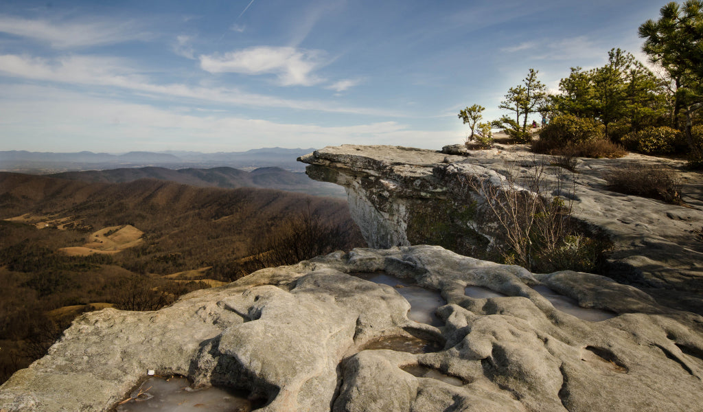 CC BY 2.0 | ksteryous
Why it's awesome: The 'most photographed spot' on the Appalachian Trail. This emblematic rock jets out like Pride Rock from the Lion King and is the cover of the movie, A Walk in the Woods. The trail continues to follow the beautiful limestone ledge into Tinker Cliffs and provides even more views.
Distance: 19.8 miles (mile 707.7 to 727.5)
Where to go: VA 311, Catawba to US 220
6. Shenandoah Valley, VA.
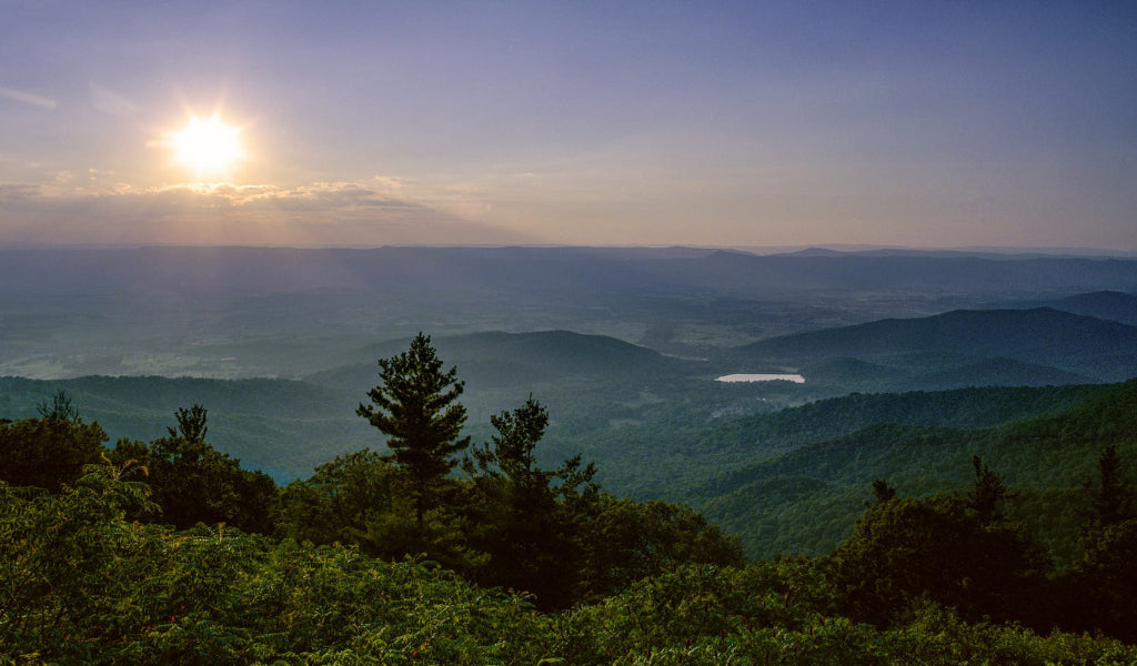 CC BY 2.0 | Mark Schneider
Why it's awesome: Endless rolling forest and a strong concentration of black bears. Many say this is what the 'real AT' looks like. The fall foliage in the Shenandoah Mountains attracts visitors from all over the world. This stretch snakes alongside Skyline Drive Scenic Highway which means dozens of parking spots to customize your hike length.
Distance: 90.1 miles (mile 873.4 to 963.5)
Where to go: Skyline 94.1, Turk Gap to Skyline 10.4, Compton Gap
7. Vermont.
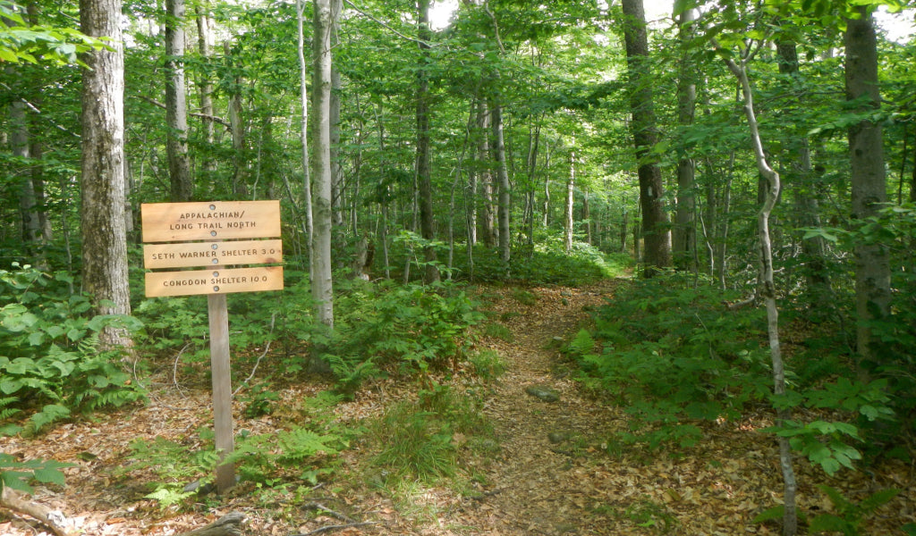 CC BY 2.0 | John Hayes
Why it's awesome: Benton MacKaye was inspired to develop the Appalachian Trail while sitting on top of Stratton Mountain. This section includes slow peaceful streams, meadows, a pristine Stratton Pond, Bromley Mountain and the comforting 'green tunnels' of trees.
Distance: 23.0 miles (mile 1633.2 to 1656.2)
Where to go: Stratton-Arlington Rd./ Kelly Stand Road to Mad Torn Notch USFS 21
8. The Presidential Range, NH.
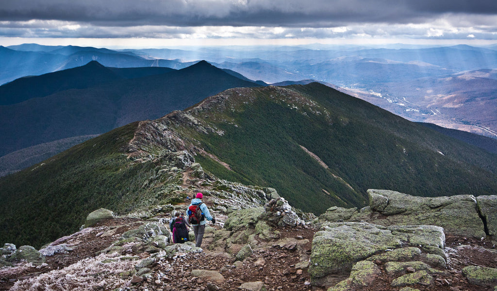 CC BY 2.0 | Jeff P
Why it's awesome: Epic peaks strung along by an above treeline trail. The Presidential Range is a subrange of The White Mountains and contains the highest mountains in the Northeast. With winds at a whopping 231 miles an hour, Mt. Washington once held the world record for wind speeds and continues to be a potentially dangerous summit. There are a couple ponds scattered along the trail. On a clear day, they will mirror the sky. Don't forget the stunning Franconia Ridge (in photo) which is just 20 miles before The Presidential Range.
Distance: 53.7 miles (mile 1816.0 to 1869.7)
Where to go: Franconia Notch to NH 16, Pinkham Notch
9. 100 Mile Wilderness, ME.
 CC BY 2.0 | John Hayes
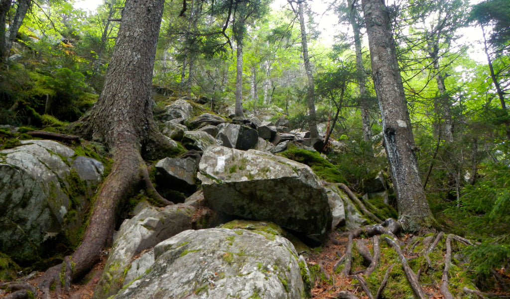
Why it's awesome: A remote wilderness nearly submerged in wetlands. Crossing only a few gravel roads, the 100 Mile Wilderness is as pristine as it gets on the Appalachian Trail. This is where you are most likely to spot a moose. There are bogs, waterfalls, rocky river crossings, mossy stumps and gnarly roots.
Distance: 99.1 miles (mile 2074.6 to 2173.7)
Where to go: ME 15, Monson to Golden Rd, Millinocket
10. Mt. Katahdin, ME.
 CC BY 2.0 | radcliffe dacanay
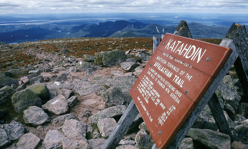
Why it's awesome: The iconic end of the trail for Northbounders and the beginning for Southbounders. Many celebrations have occurred on the summit. Henry David Thoreau famously climbed it in the 1800's. The highest mountain in Maine, Mt. Katahdin is a dramatic climb that requires some boulder scrambling. The summit has one of the best views on the entire Appalachian Trail.
Distance: 5.2 miles (mile 2183.9 to 2189.1)
Where to go: Katahdin Stream Campground to Mt. Katahdin


 650-Calorie Fuel